Hiking adventures: Tanbark and Tin House Trail- Big Sur, Ca.

IMG_1904

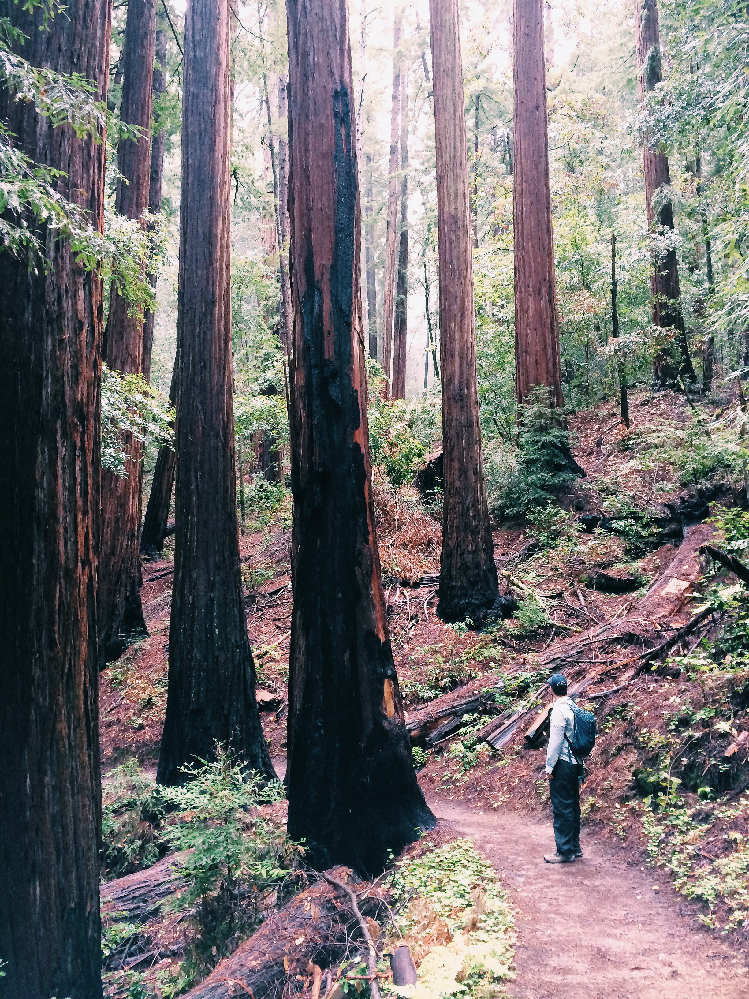
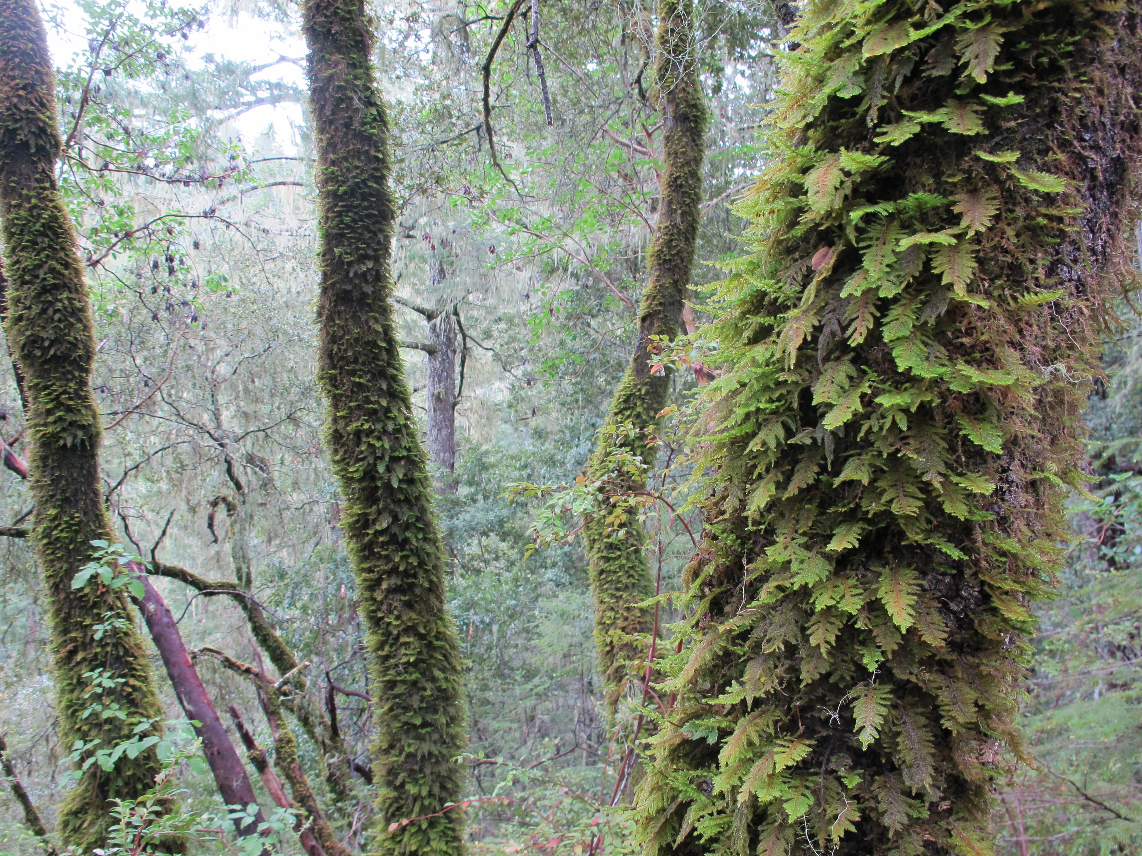
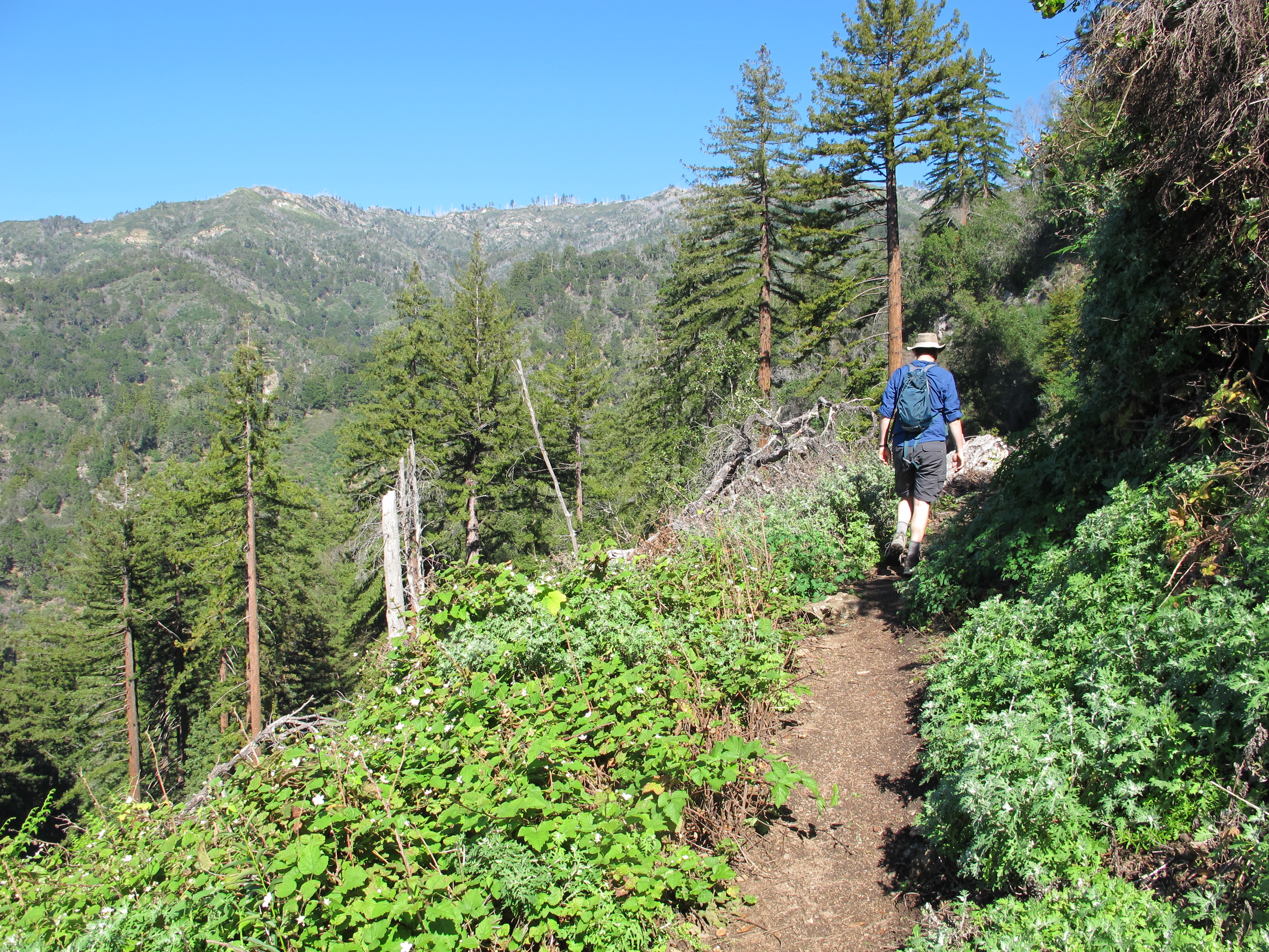
For Valentine’s Day I planned a day of hiking for us down in Big Sur. I’ve never really been into the whole commercial part of this holiday…this isn’t to say that I don’t like receiving flowers or going to dinner but I never expect anything on Valentine’s Day because I already know that my husband loves me all year long. Anyway, this is a hike I’ve wanted to do for a while but doubted I could do it. Because I decided that this year is the year I stop being afraid of putting myself out there, try new things and push myself more to get out of my comfort zone I made plans for this big hike. It’s not big in terms of length but it’s ALL uphill to the Tin House. This trail starts out across from the unmarked Partington Cove trail head (a neat, very short trail that takes you to a small cove that, during prohibition ,was rumored to be a favorite spot for alcohol smugglers). The Tanbark Trail is also unmarked and is located across the street. At first glance, it’s an unassuming trail but very quickly you are in a redwood canyon  filled with ferns and big boulders while heading inland. This only lasts about half a mile and then you begin your upward climb.

IMG_1911

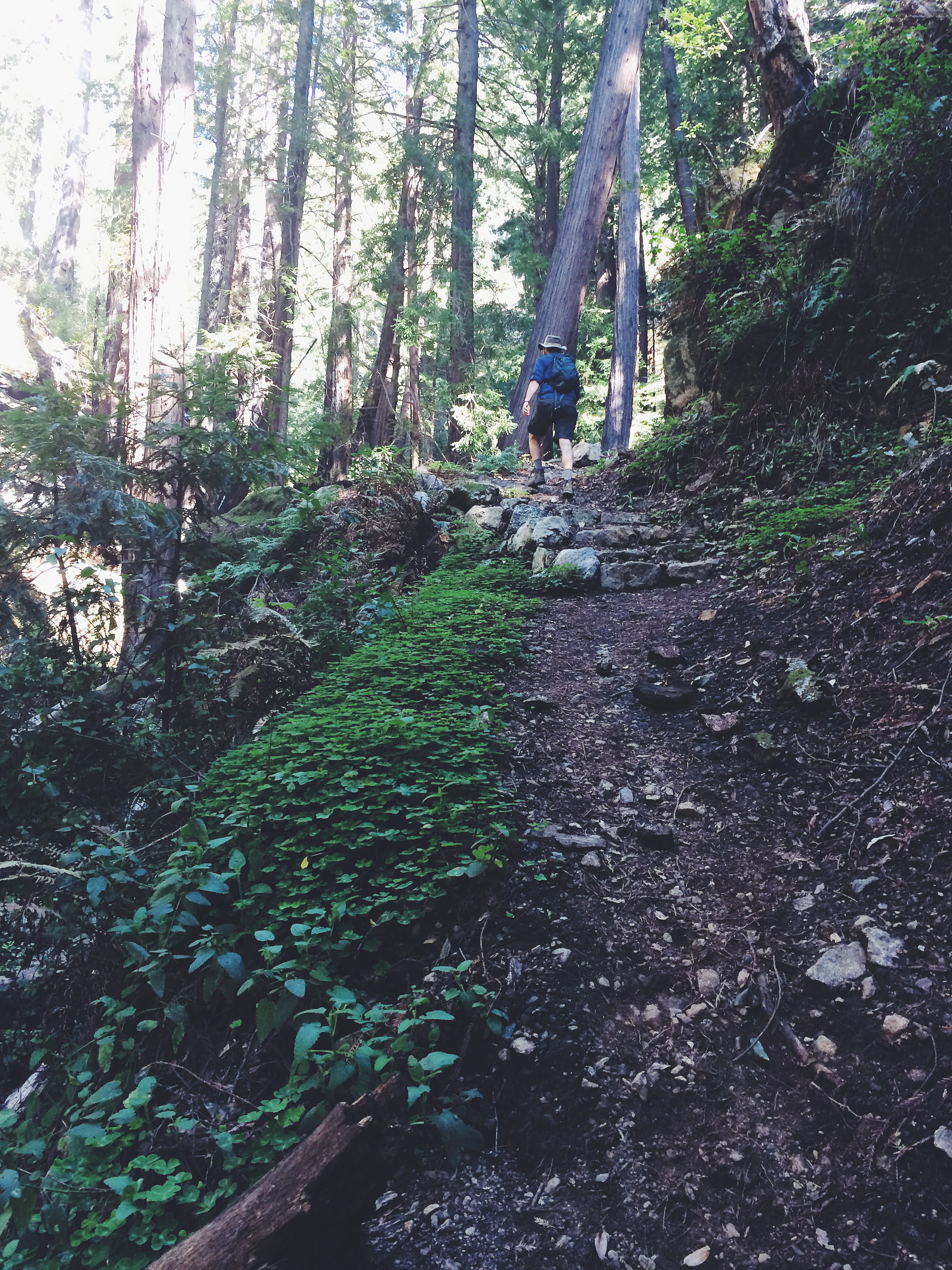
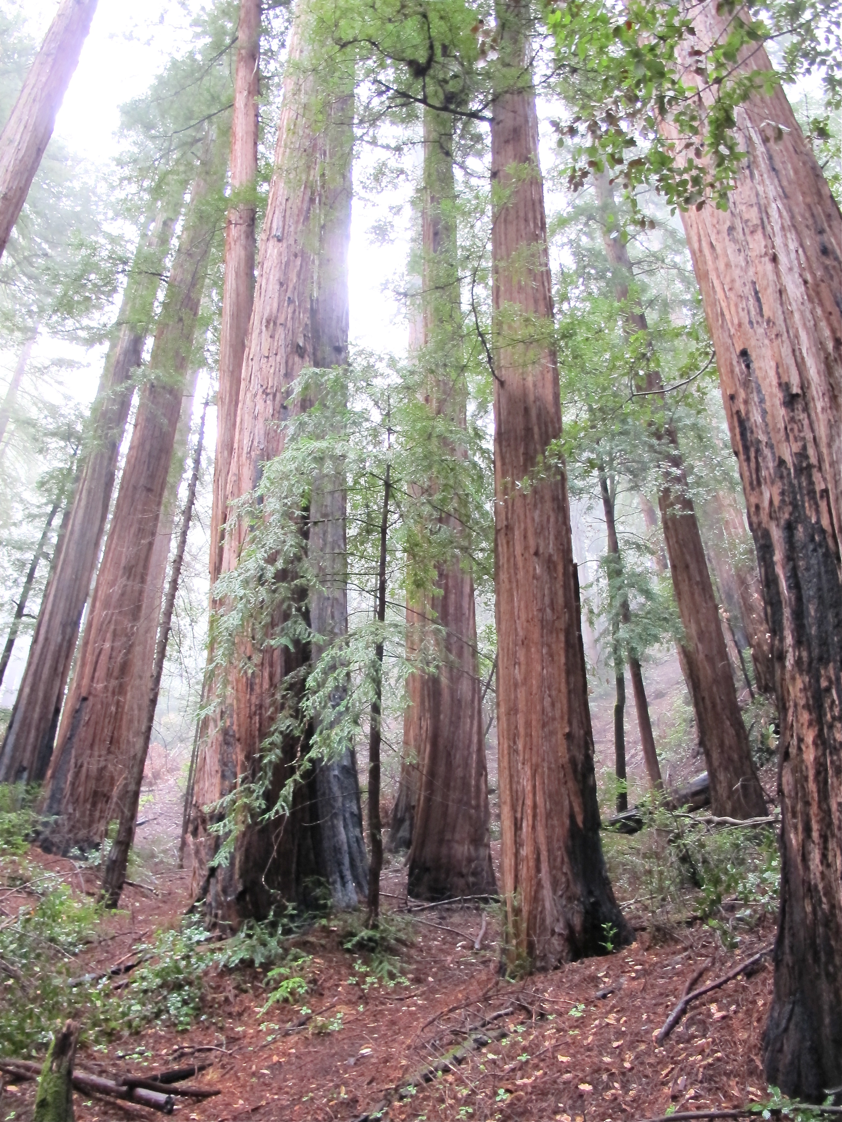
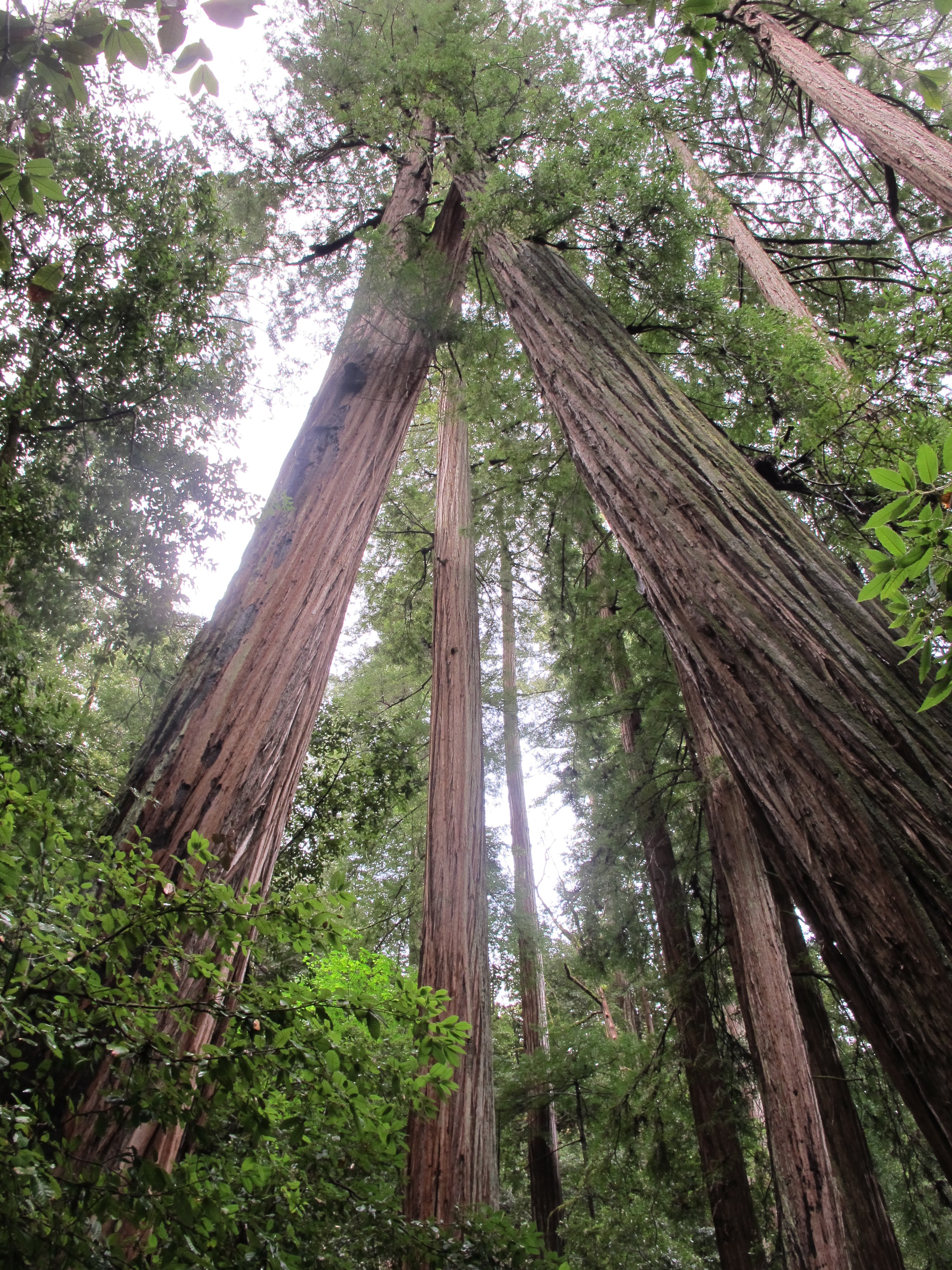
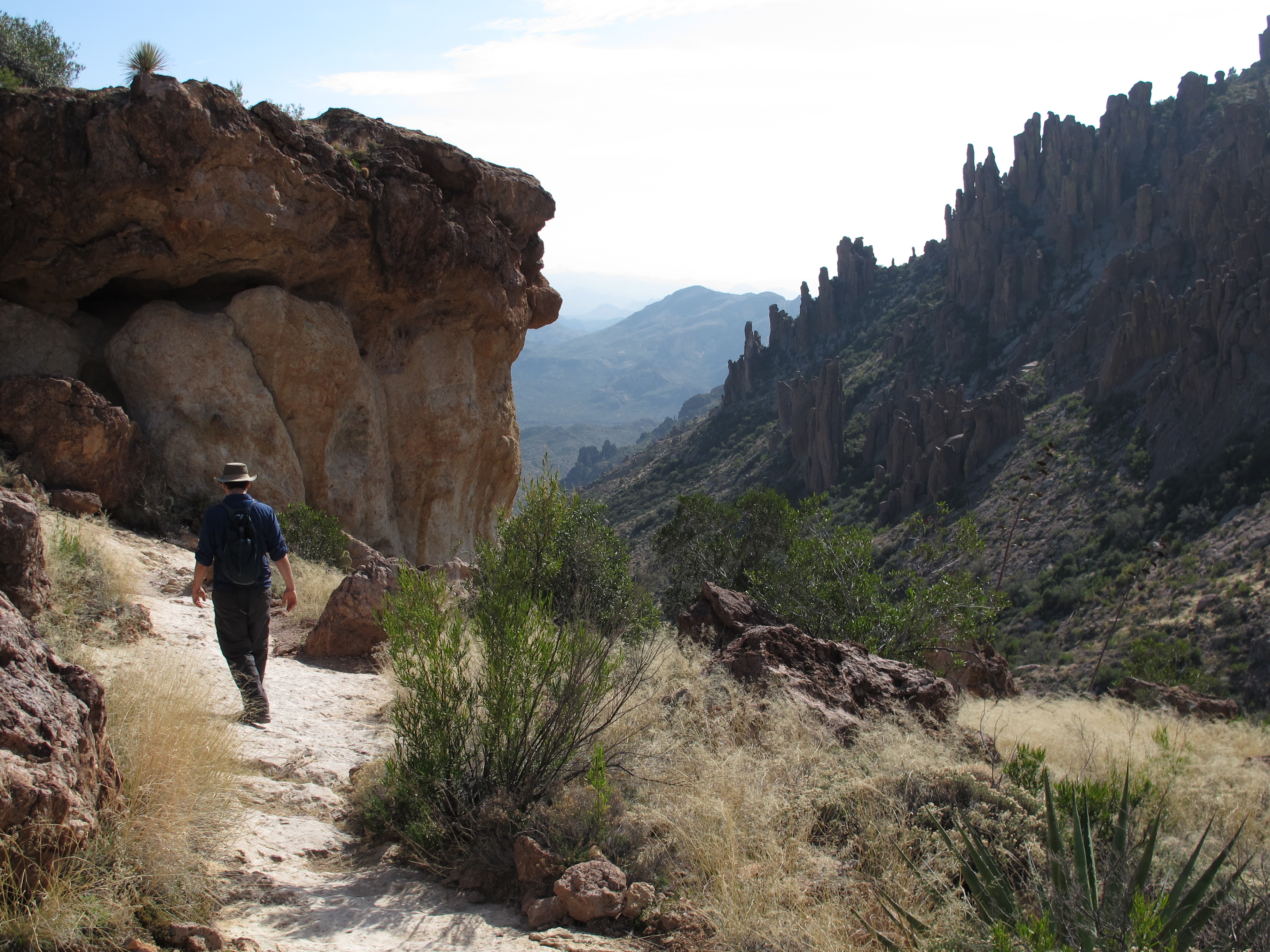
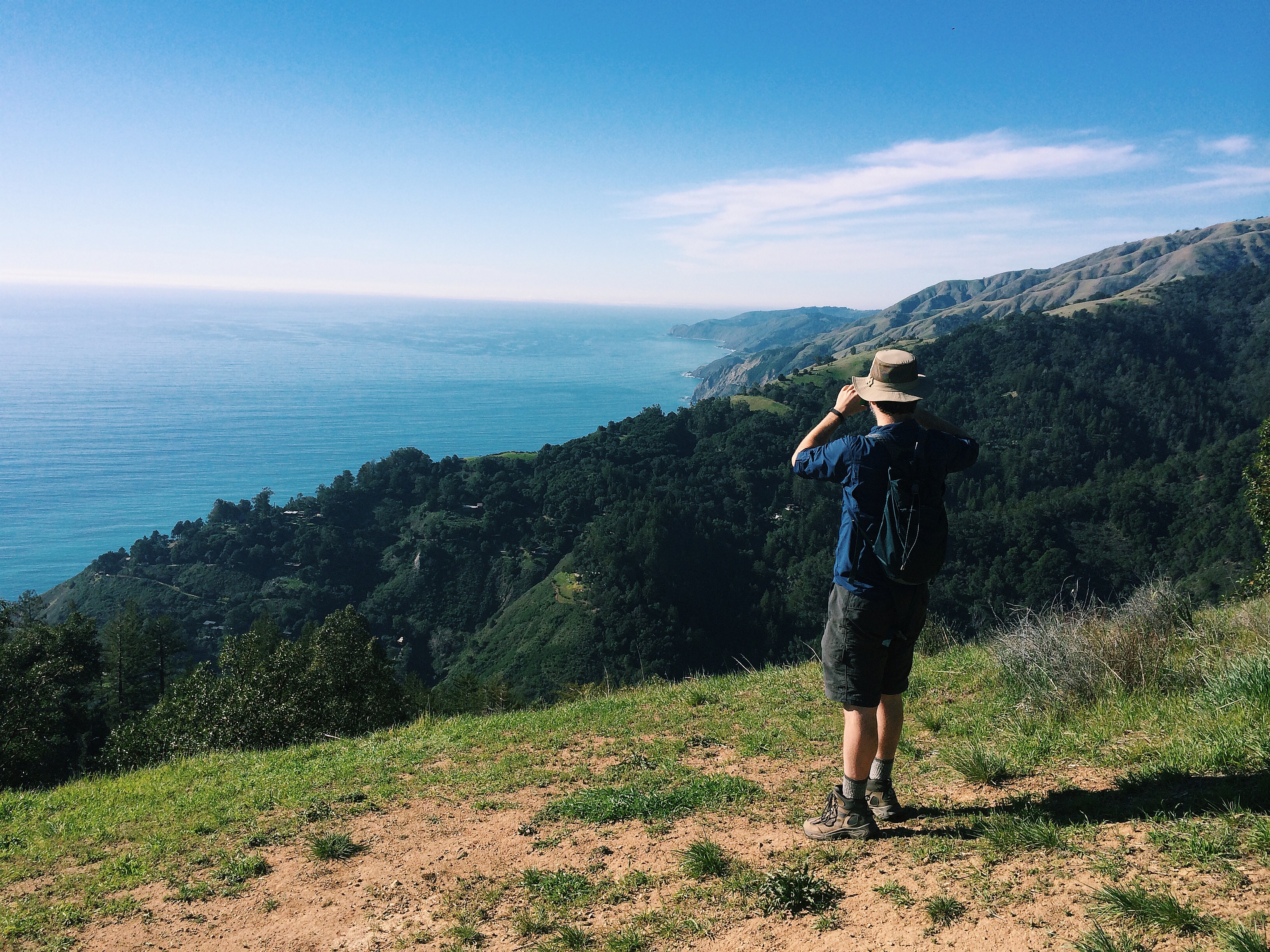
This photo is a perfect depiction of the upward trajectory that the trail takes for 2-3 miles. It evens out a bit but it’s still pretty upward until you get to the Tin House.

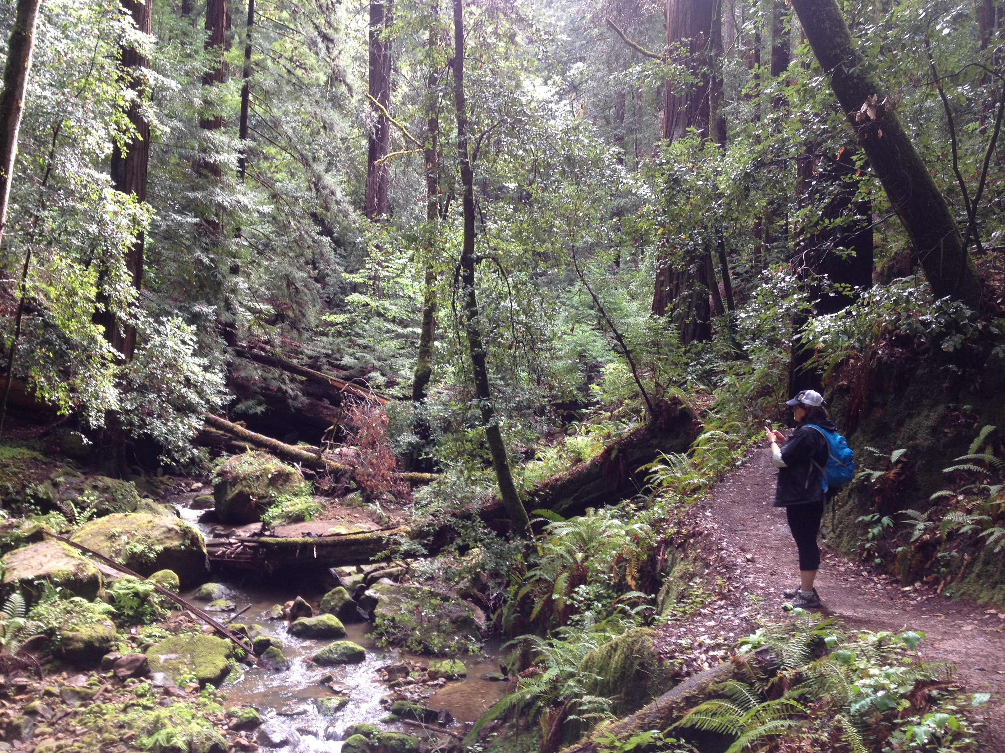
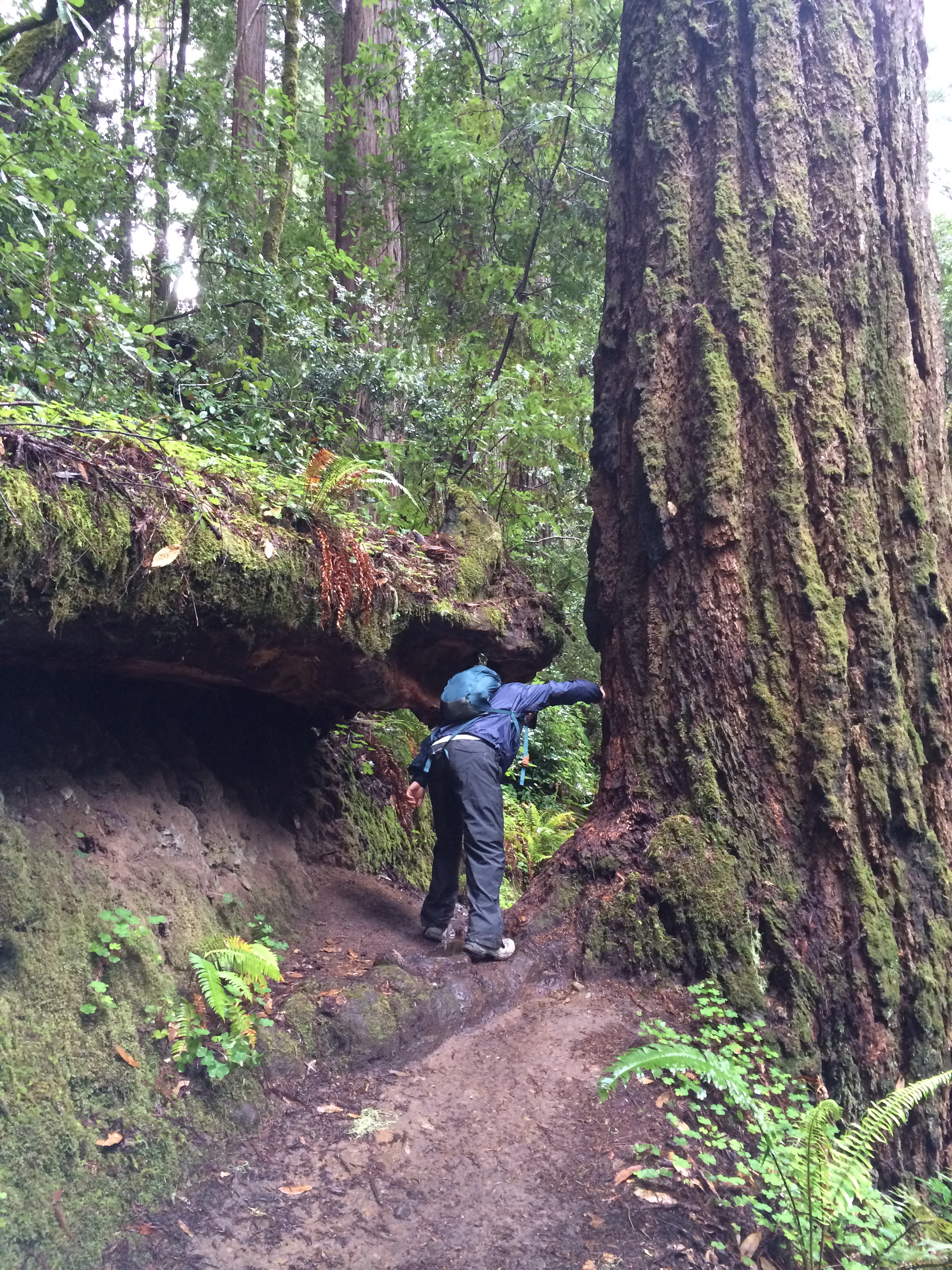
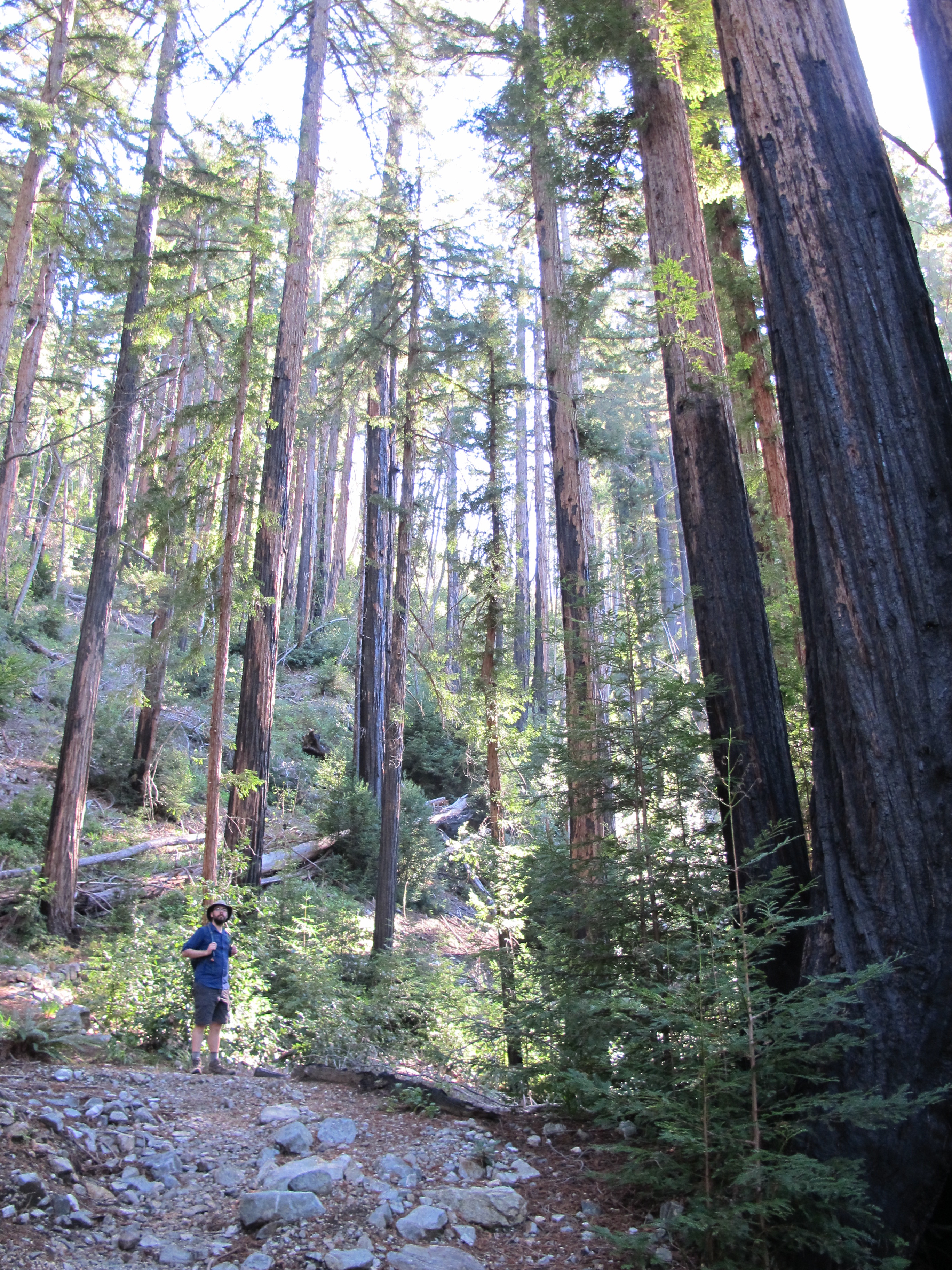
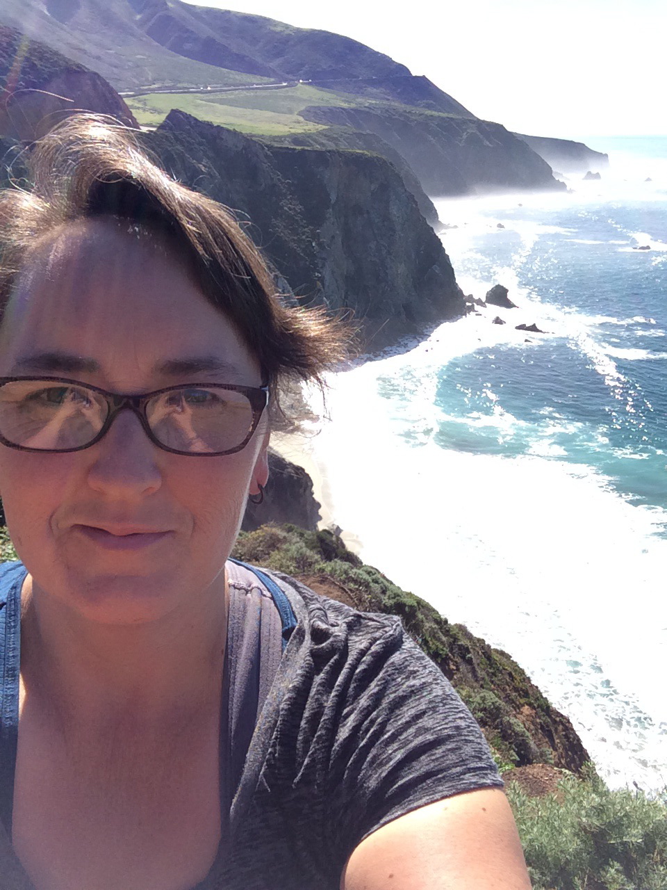
Midway through the hike we stopped and had lunch on some fallen trees. It was a pretty spectacular view for a Valentine’s Day lunch. Sun streaming through the trees, total quiet other than the small brook running though the valley and moss covered trees to sit on. It was a nice reprieve from the uphill climb we had been enduring. This may not be a very long hike but you definitely need to be in shape to get up these hills.

IMG_3322IMG_3316

The trail tops out at the junction to the Tin House. The trail actually ends at a fire road but off to the left is the trail that takes you out to the Tin House. Some info about the Tin House from this website “The house has an interesting history and was built in 1944 by Lathrop Brown, a former Congressman from New York, who also built the home above McWay Falls that was finally removed in 1965. The tin sheeting and parts came from two old gas stations, and the house was fully finished inside with rich blue walls in the living room.

The story goes that when the house was completed, the Browns spent one night there and soon discovered that the tin structure made a lot of noise as it expanded and shrank with the temperature changes. They never returned.”

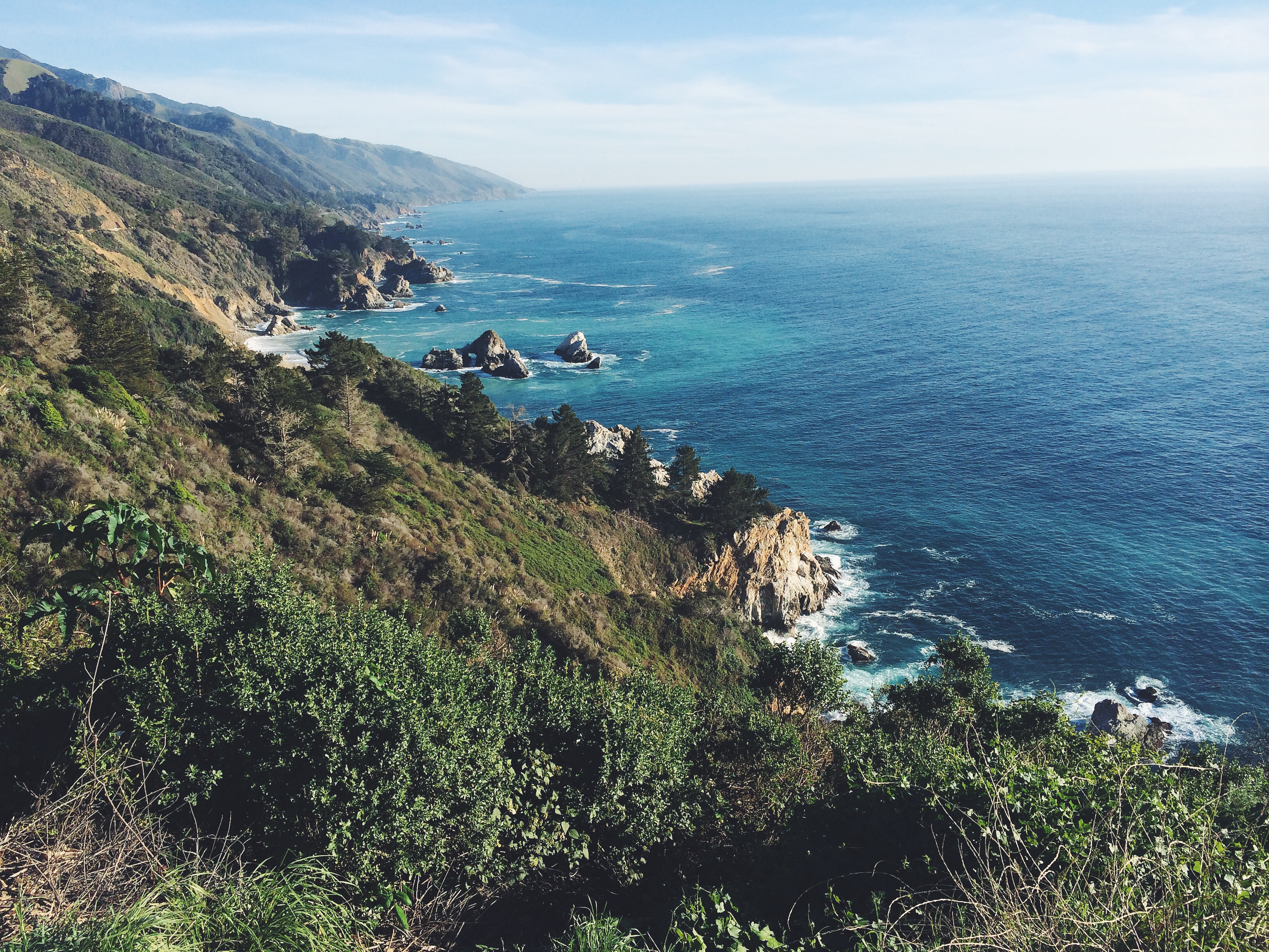
At this point the house is in pretty bad conditions due to weather and vandals. Nate was up there about 1 or 2 years ago and I guess it’s become even more damaged than when he saw it then. When you walk around to the ocean side of it though the views are spectacular of the coast and Partington Cove area. Standing there enjoying the view I could imagine the lawn parties they may have had here had they stayed here more than the one night. I wish I had seen the house when it was not falling apart and crumbling. I bet it was a pretty awesome sight.

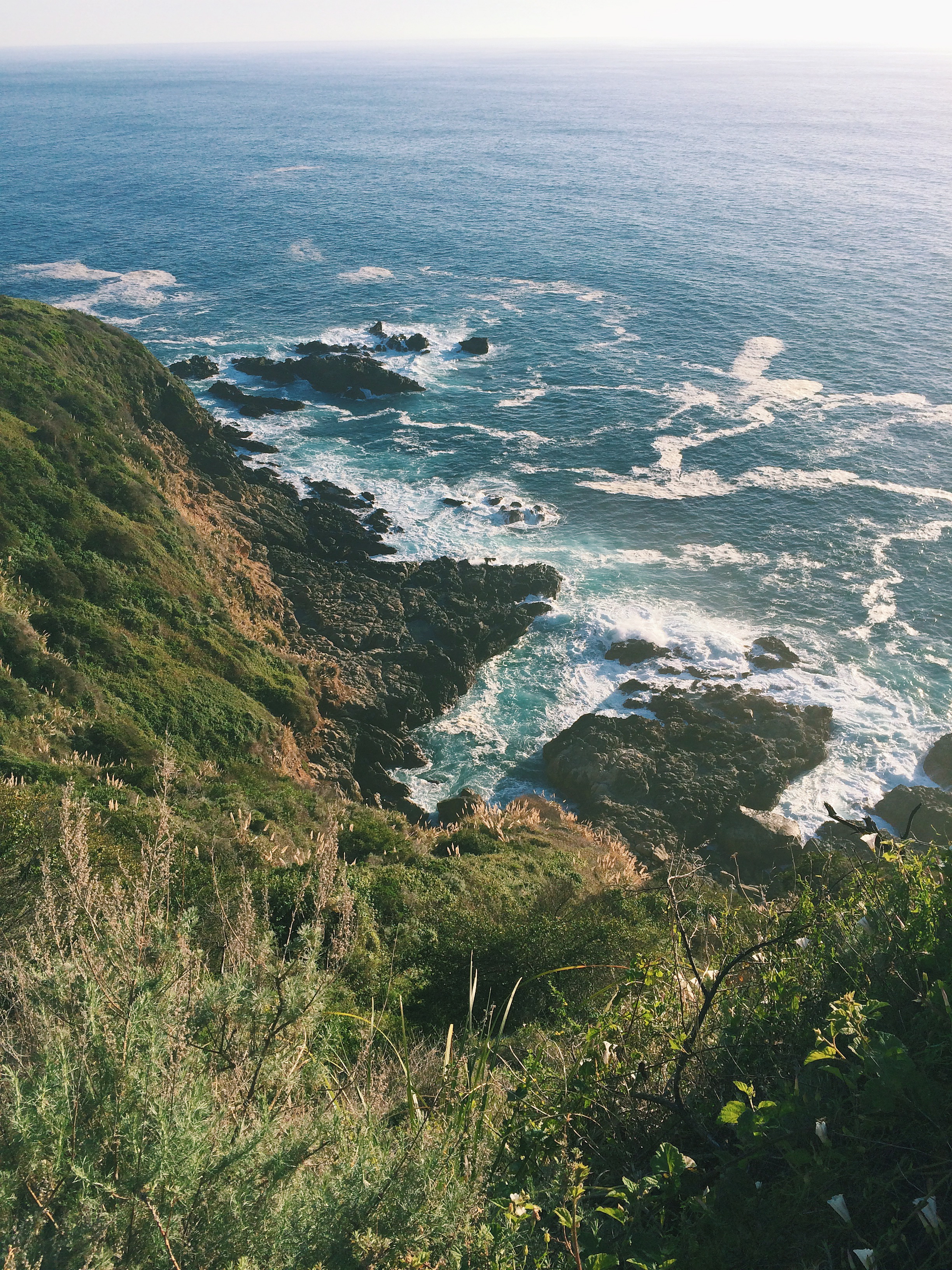
The fire road that takes you back out to the highway is pretty steep but after you come out of the trees the views of the coast are amazing. The only downside of the hike is that when you take this exit out you have to walk the 1/2 a mile back to the car right on Highway 1. With all the turns and narrow road this can be a bit of an adventure. We had to cross and re-cross to keep on the bigger part of the shoulder so that we were safe.

When we got back to the car we decided to head down to Partington Cove because we hadn’t done this short hike in a couple of years. We spent a little bit of time sitting on the bench watching the waves and resting for a bit.We probably should have spent a bit more time hanging out there because by the time we got to the Point Lobos area of Highway 1 the traffic was at a standstill and stayed that way for almost an hour (just to go 5 miles) due to numerous events happening in the area. It took so long that we just stopped by Chipotle’s and picked up dinner so that we could just stay home the rest of the evening and watch movies. Happy Valentine’s Day to us!

Hike length: 5.6 miles (plus another mile for the Partington Cove trail) Elevation Gain:1600 ft.  Trail condition: Excellent and very well maintained. Trail is unmarked but obvious.

Thanks for reading!


List 44: camp at Big Basin in Santa Cruz (#36)

IMG_3605IMG_3281 Big Basin has been on my radar for years. We did an impromptu day trip there one year but it was so busy that we couldn’t even find parking. Thankfully Nate forgot about that detail when I told him I’d reserved a campsite there for our anniversary weekend. He remembered  it as we pulled up to check in at the park but at that point it was too late;)

This is a busy, BUSY park. Fortunately the weekend we went the weather was predicting rain (which happened) and so I think this deterred some people from keeping their camping reservation and so the first night (Friday night) was very quiet. We knew we had a long hike the following morning so we didn’t want to have a late night anyway. You can’t tell by the photo but the tent we took was HUGE. Like for 8-10 people and it was just the two of us…Nate had recenlty found the tent at a second hand store and this was our first weekend trying it out. It fits our air mattress (no judging) with plenty of room for a few other people. The only thing it didn’t come with was a rain flap so Nate fashioned one out of a large tarp. He did an amazing job but unfortunately, even though the prediction was for light rain for a couple of hours, it rained from 10pm until 6am the next morning with almost no break. So the tent flooded a little bit. We were dry and we had the foresight to put all our stuff in garbage bags so overall we were good. But a cold damp tent is not what you want to wake up to. We had a long hike ahead of us though so being cold ended up being a good thing as it forced us to get up and head out as soon as possible.

One of the reasons I waited so long to plan this outing was because I wanted to be able to do the Berry Falls loop which is almost 11 miles. Last year at this time I could barely walk a mile because of my Plantar Fasciitis issues. My podiatrist had me limiting my walking to about a mile only each day. That was a tough time for me. Thankfully I healed up pretty quick (by following his advice) and a year later I am doing 11-12 miles with no pain at all. I guess giving up a couple months of my life for healing was worth it!

IMG_3359

IMG_3328

Anyway…the Berry Loop Falls Trail. It’s a must. It is one one of the most enchanting hikes I’ve ever been on. The amount of lushness and growth in this little valley is mind boggling. Redwoods and ferns and creeks running through it. I love the fact that when trees fall down the park just leaves them down and just cuts out enough of an area so you can walk the path. This loop features a couple of really impressive waterfalls that run year round. We took the Skyline-to-the-Sea Trail and hiked uphill to the falls (usually people do the trail the opposite way) and then out to park headquarters on the Sunset trail. I think that the way we did the hike worked out better than if we had followed the directions most websitse give. All the tough hiking (ascending and descending numerous times through a gorge in the redwoods) was in the beginning so by the time I was tired, we were on Sunset trail which is pretty much a descent all the way down to the main park entrance.

It took us a little more than 5 hours to hike the trail with a short break to eat lunch after we passed the falls. Nate also took a detour up to check out the camp sites at Sunset Camp while I opted to rest:)

IMG_3618

IMG_3299


By the time we finished the hike the sun was out and the day was beautiful although the chill in the air was still quite cold. We arrived back a the camp by 3:00 and just couldn’t get warm. We didn’t want to start the fire too early and run out of wood by 7:00pm so we opted to sit in the car and read for a bit until we both started to fall asleep. After much deliberation we decided to pack it all in and we packed everything and left. Seriously. We were cold and exhausted and neither of us were looking forward to another possible cold wet night. This is not the first time we’ve packed up early. Sometimes one night is enough…LOL.

IMG_3651

My goal was to camp at Big Basin and hike the loop and both happened even if we didn’t stay the whole weekend. We ended up getting back to Monterey in time to pick up food at our favorite tacqueria and veg-out on the couch watching movies. And we enjoyed sleeping in our warm dry bed that evening too:)

Thanks for reading!


Jennifer


Hiking adventures: Peralta Trail- Superstition Mountains, Arizona

Processed with VSCOcam with c1 preset

One of the adventures we had planned on this trip to Arizona was a day of hiking in the Superstition Mountains. Since we’ve always gone to Arizona in the dead of summer, hiking has never been an option. Now that dad lives out in the middle of nowhere (Queen Creek) the Superstitions are just a quick drive from his new house and so we headed out one morning to tackle the Peralta Trail. It was the perfect length (almost 5 miles or so- round trip) from the trail head to the saddle view of Weaver’s Needle. According to my dad, I’ve been on this trail before when I was younger (under 12) when I backpacked in with my dad and a group of other backpackers. I didn’t remember of course. The road to the trail head is dirt but a there is a large parking lot and bathroom facilities There is no water available though to refill your containers with so plan accordingly. I read numerous sources that said there was a parking fee but when we went the parking was free. Apparently Peralta is the most popular trail in the Superstition Wilderness and can be very busy at times . We went on a Tuesday and it seemed pretty quiet to us. We passed a few people but after hiking the Pinnacle Peak Trail  just days before, this one was so quiet and peaceful. (with the exception of the guy who was hiking while blasting his music- we let him get way ahead of us so that we didn’t also have to listen to his bad music choices).

Processed with VSCOcam with c1 preset

The views on this hike are amazing. The saddle with the view of Weaver’s Needle was awesome but I think almost every view on the hike was breathtaking. It’s so different from what we usually see on the Central Coast and it was a welcome change. It’s a pretty easy hike even with the noticeable elevation gain. It’s gradual for the most part and didn’t give me any problems at all. I think the biggest hindrance of the day was the weather. Cool weather in Arizona is like hot weather where we live and so by the end of the hike we were exhausted and had both run out of water. I can’t believe there are people who would do this hike in the dead of summer. Even in January it was almost 80 degrees midday. I would suggest doubling the amount of water you think you might need. I had also misjudged the amount of time it would take to do the hike and didn’t bring lunch food with me and so the last half an hour of the hike was pretty rough on both of us (me because I was so cranky and Nate… because I was so cranky) If you find yourself in this part of Arizona I highly recommend that you explore this trail. You don’t have to be in amazing shape to do this hike but you should be, at the least, at an average fitness level. Beginner hikers may find parts of the trail tough. There are some narrow parts and the trail is not marked in any recognizable way but is still pretty easy to maneuver. Nate is a natural with hiking and he always seems to know exactly where the trail is even when it’s not obvious to me. After we got to the top of the saddle we explored a bit around the area (adding another mile or two to our final total) as Nate was hoping to get closer to Weaver’s needle. It’s much further than you think it is though and after walking an additional mile or so we decided to turn around( due to my lack of food).

Hike length: 4.9 miles to the Fremont Saddle view (round trip)  Elevation gain: 1380  Trail condition: excellent even though it is not marked in any wayProcessed with VSCOcam with c1 presetProcessed with VSCOcam with c1 presetIMG_3226.

Thanks for reading!

Jennifer